Curated Images And Textures From Google Maps
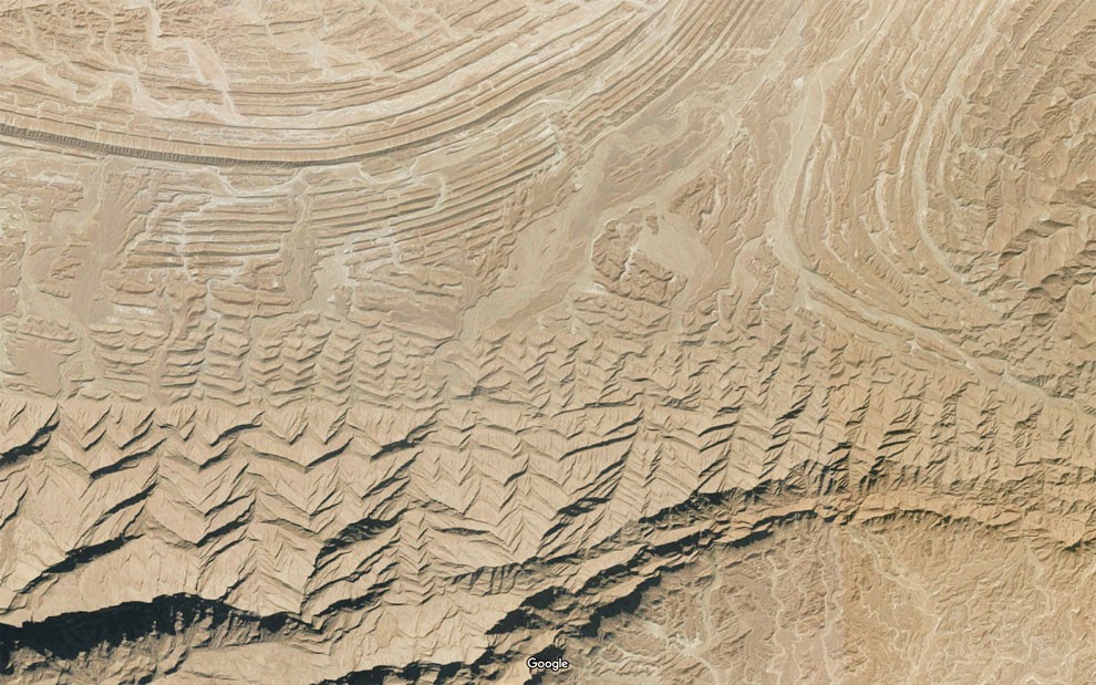
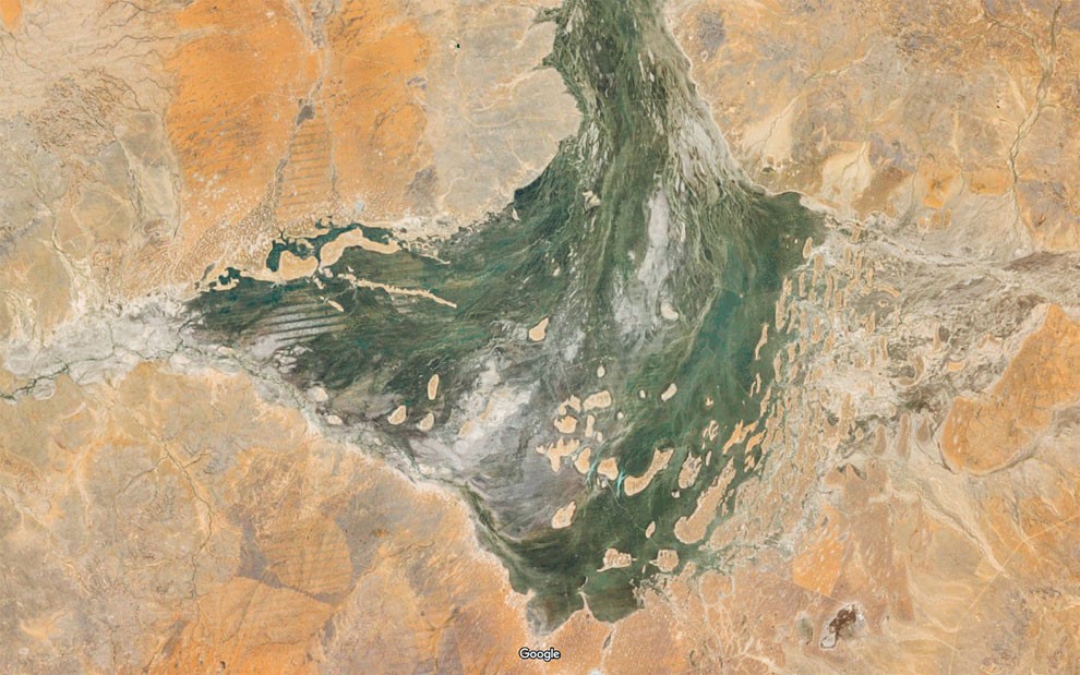
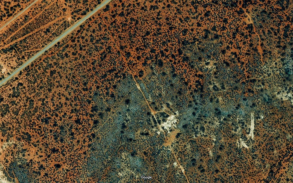
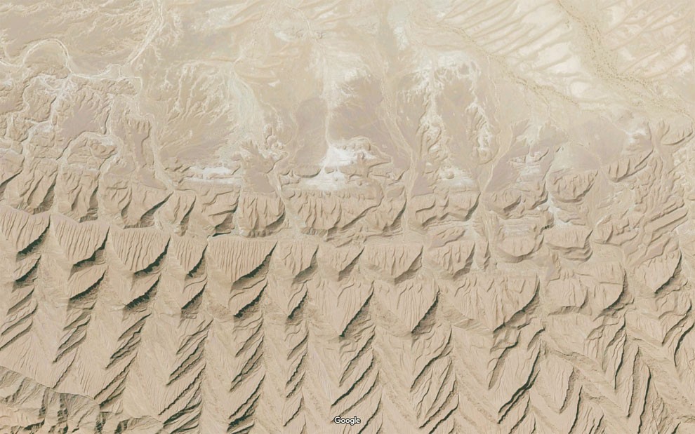
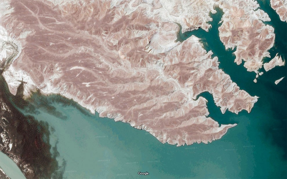
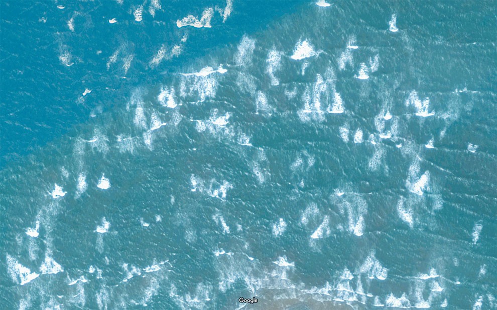
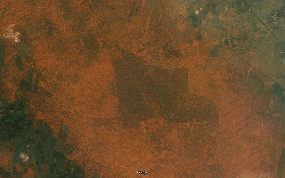
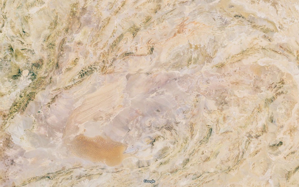
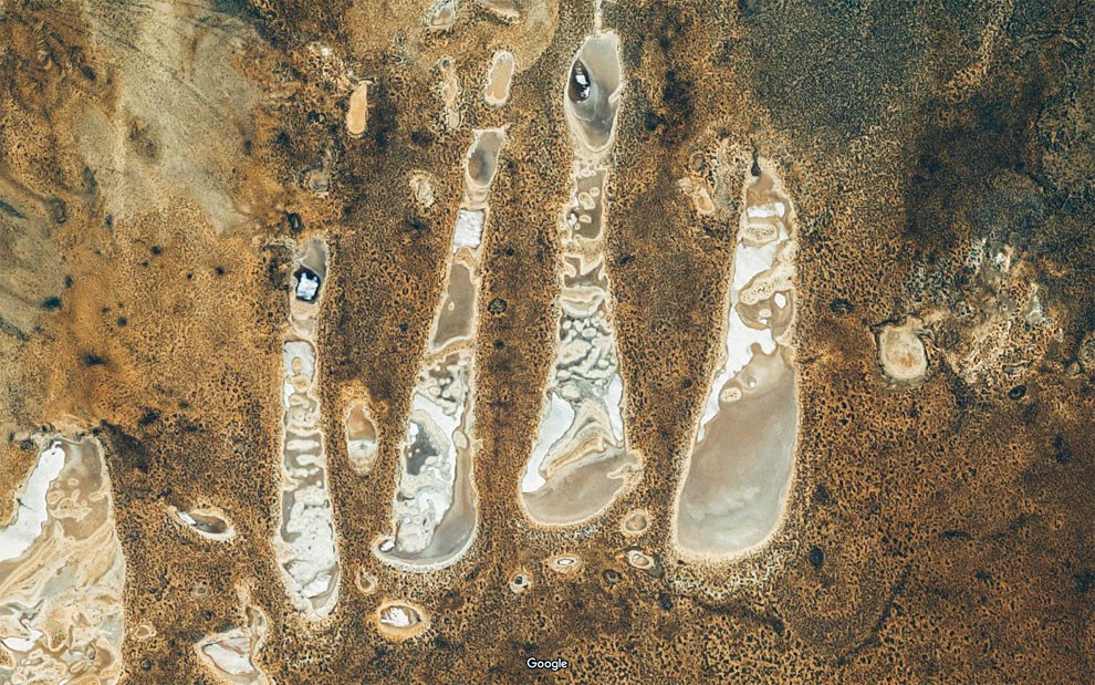
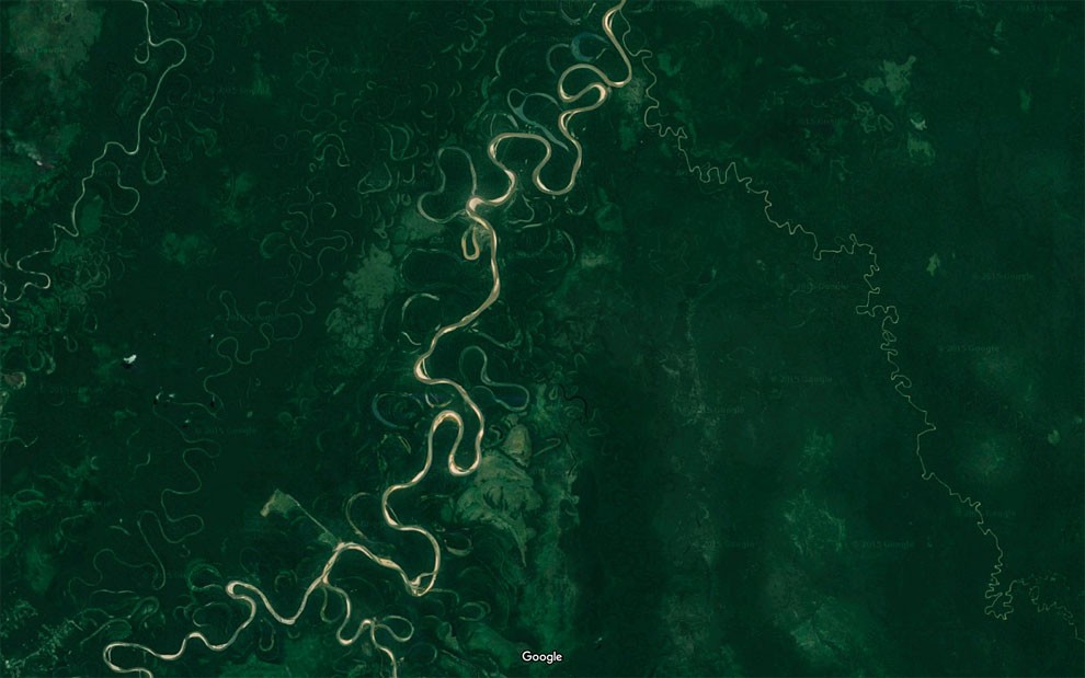
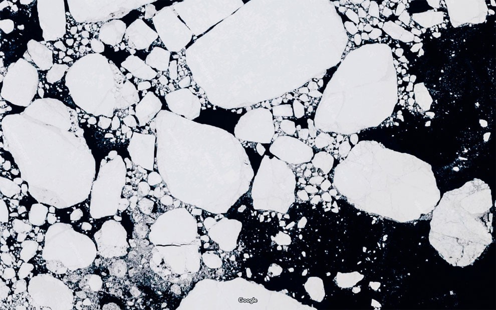
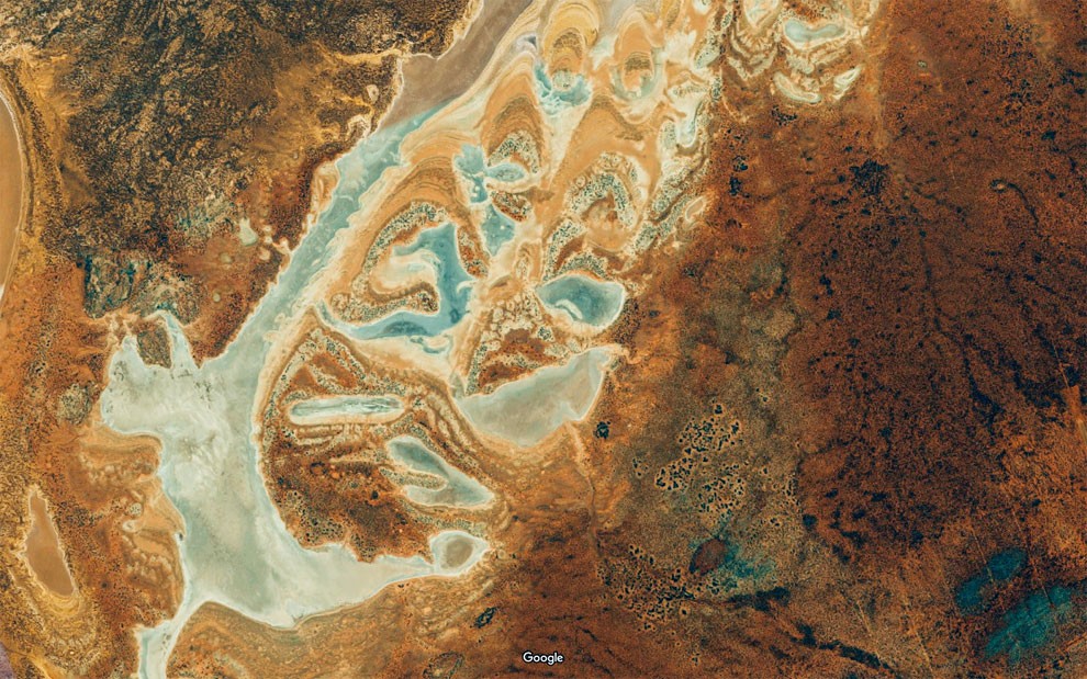
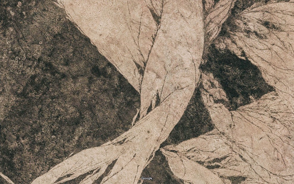
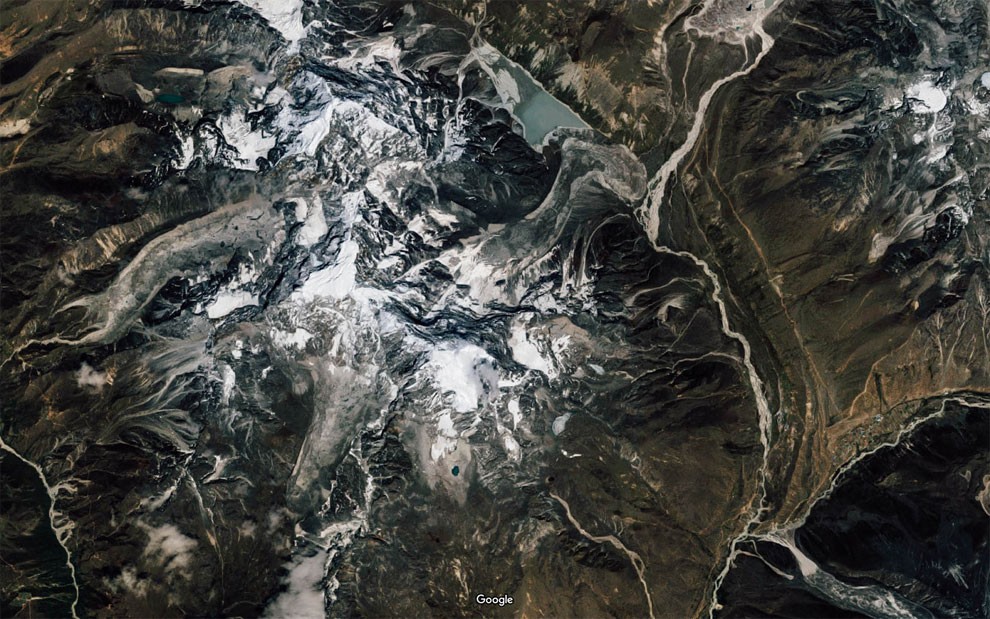
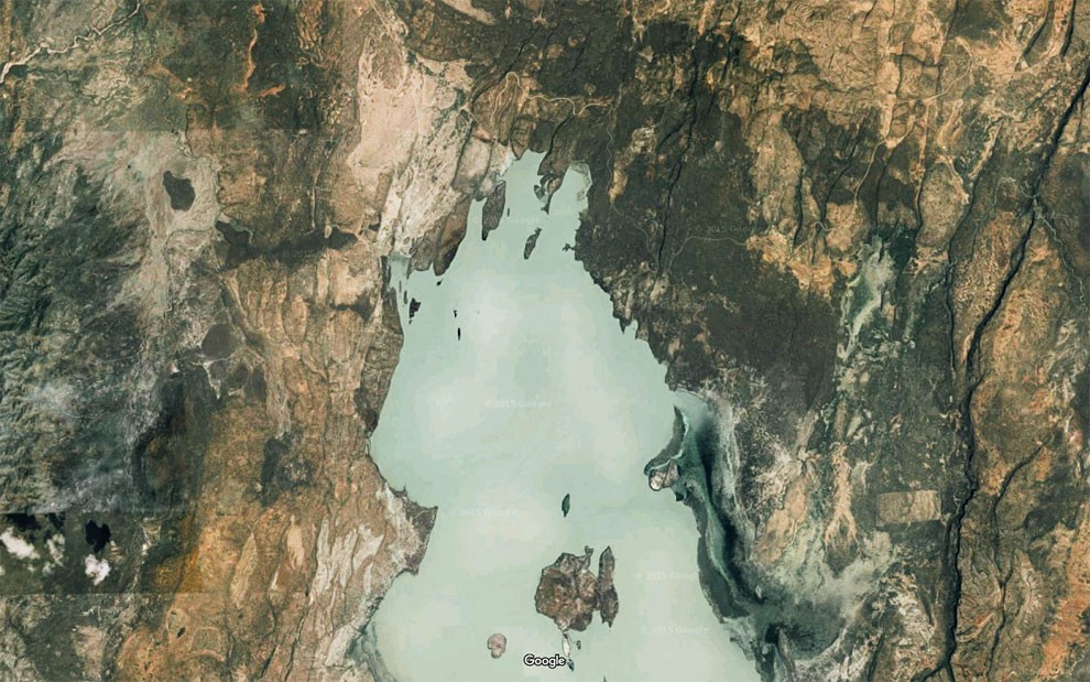
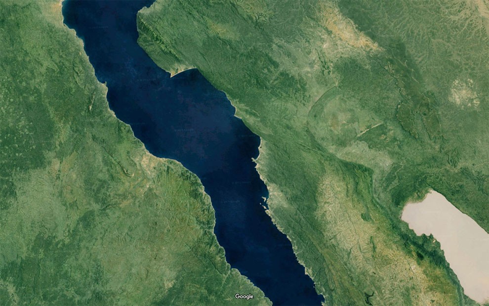
At the intersection of technology, nature, and aesthetics, Arterrae is a project that finds the awe-inspiring textures and colors hidden in Google Maps satellite images.
More Inspiring Stories
Synchronistic Images Captured In Soviet Era Swimming Pools By Photographer Maria Svarbova
Impossible Instant Lab: Turn iPhone Images into Real Photos
This Instagram Account Collects The Saddest-Sounding Places On Earth
The City that Builts into the Rock
Huge Pharaonic Statues Unveiled in Egyptian Temple City
Reflected Images Of Tree Bark Reveal The Faces Hiding In The Forest
Couple Travels Country In Their Tiny House They’d Built Themselves For Under $20,000
A Used Cargo Van Becomes A Mobile Studio
Actual Google Suggestions
A Look Inside One Of The World’s Most Isolated Tribes With Incredible Photos You Probably Haven't Seen Before
Inside Japan’s New Luxury Suite Train That Departs From Ueno’s Platform 13½
Tibetan Buddhists Celebrate Monlam
A Daredevil Aerial Walkway Over A Tea Park In China
Floating Snowflake Hotel in Norway that Offers the Perfect View of the Northern Lights
The Golden Age of Flying: A Look Back On Air Travel In The 1950s And '60s
Color Madness: Jember Fashion Carnival in Indonesia
A Suspended Treehouse to Sleep with Birds
Cozy School Bus Conversion
Ancient Traditional Honey Hunters Of Nepal
Chinese Tourists Cram China's Biggest Pool Named 'The Dead Sea' On Hot Day
Amazing Video Of Divers Swimming Through A Place Where One Continent Ends And Another Begins
Stunning Color Pictures Of The Daily Life At The Rio Beaches In The Late 1970s
This Man Spent 25 Years To Create The ”World Map” On The Banks Of Lake Klejtrup, Denmark
Artist Brings Everyday Objects To Life With Smartphone And No Editing