Above It All: The Aerial Tour Of California With Photographer Woody Woodworth
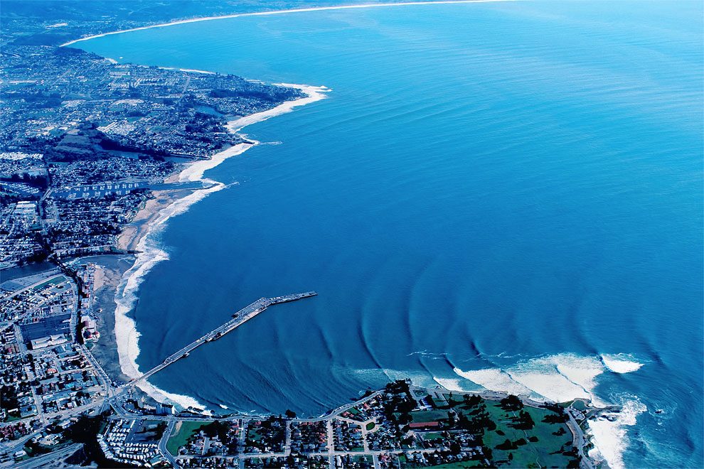
From high altitude, even the most familiar coastlines take on an entirely new dimension. Combine that bird’s-eye-view with a pulsing swell, and you can see how points and bays manipulate the ocean’s energy, bending waves to perfection. It’s that enlightening perspective that first drew Woody Woodworth toward aerial photography. He’s been shooting California’s coastline from above for years, but this season was especially fruitful, when an aerial perspective offered him the fullest view of El Niño’s unrelenting power and jaw-dropping panoramas on February 24th and 25th. Here: Santa Cruz, 1982
More info: Woody Woodworth (h/t: surfermag)
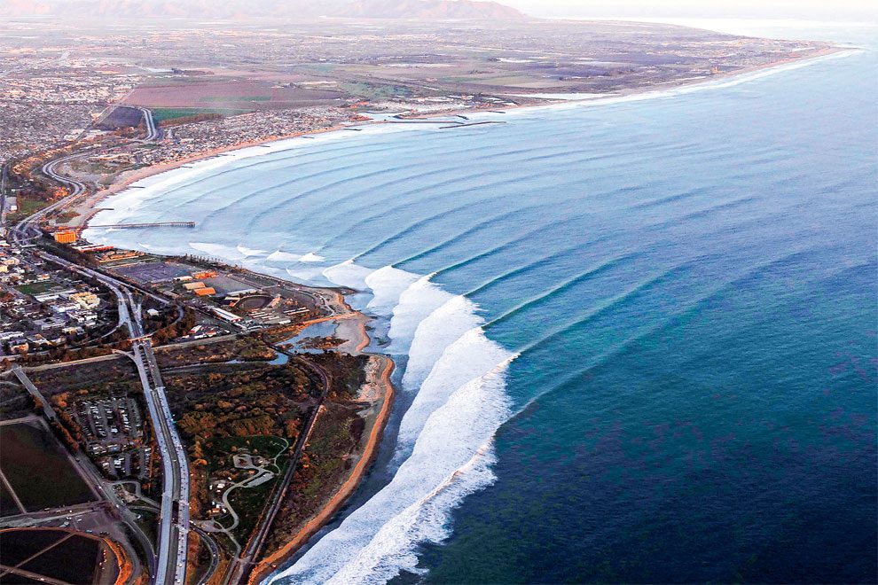
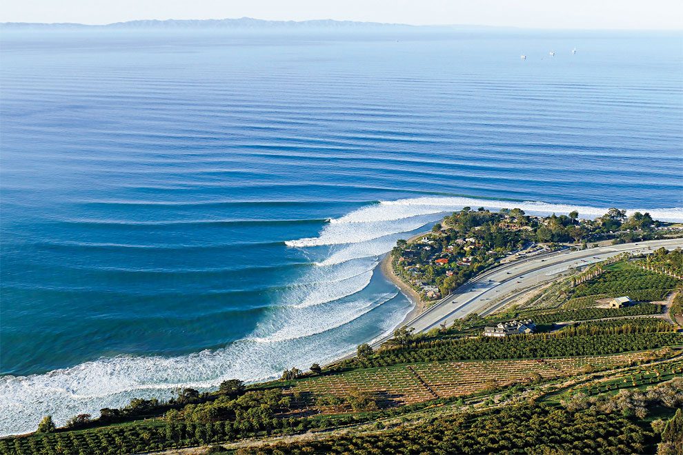
Ventura, 2016
“Timing is crucial when you’re trying to capture a swell by plane,” he told Surfer Magazine. “But it offers a whole different perspective. You’re up in the air, spinning around, looking up the coast, looking down the coast, and all you can see are lines—you can’t do all that from a highway by drone.”
Church, Trestles, 1993
Ventura, 2016
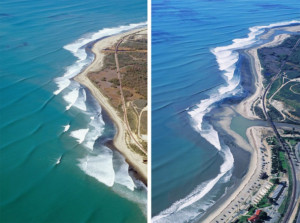
Church, Trestles, 1992 & 1993
Ventura, 2016
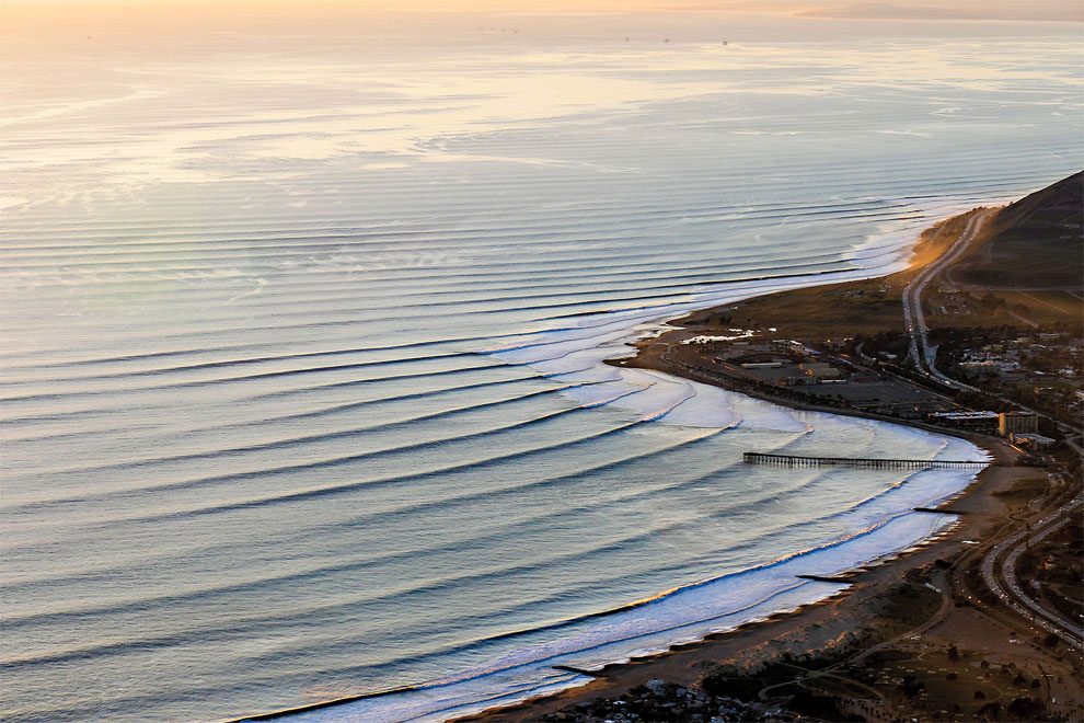
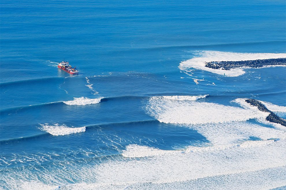
Doheny State Beach, 1993
Ventura, 2016
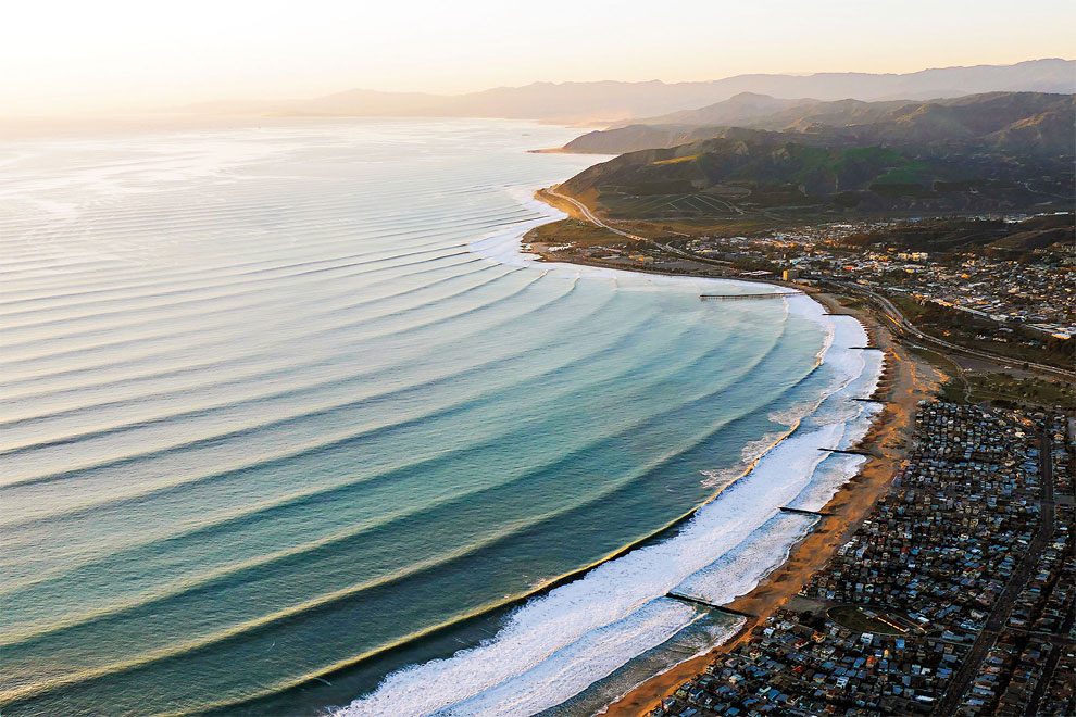
Ventura, 2016
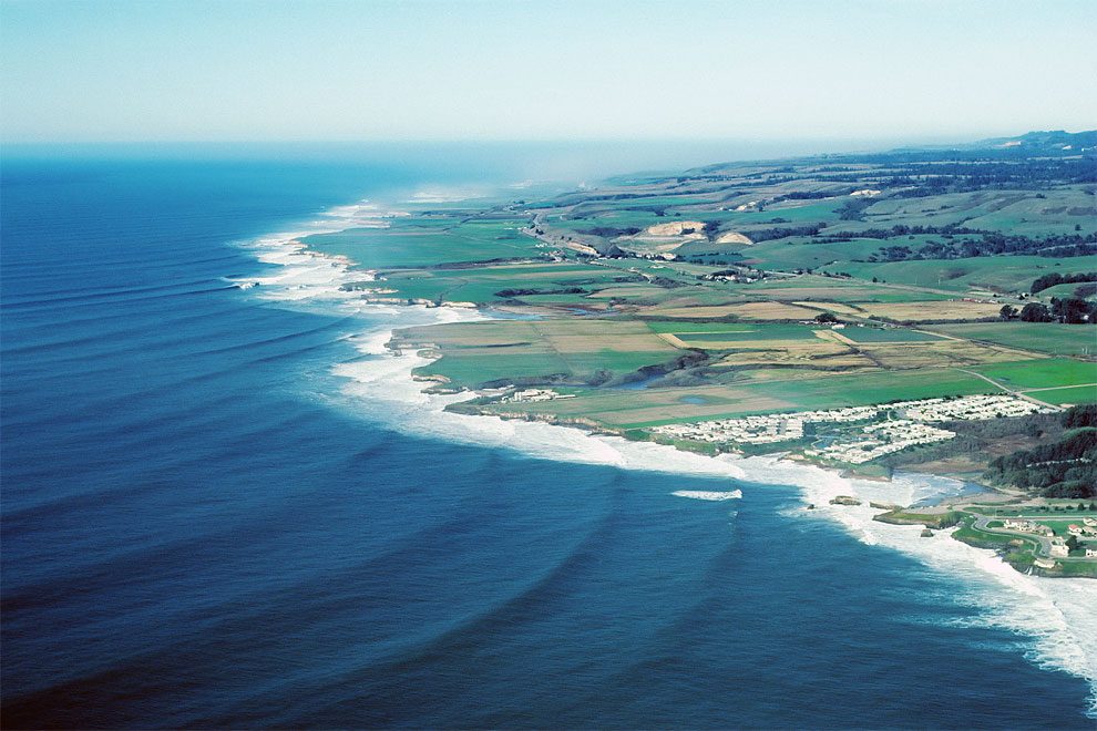
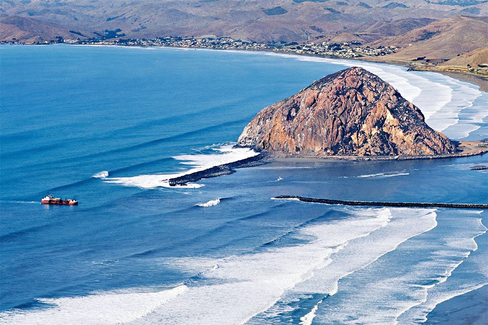
Morro Bay, 1995
Ventura, 2016
Morro Bay, 1995
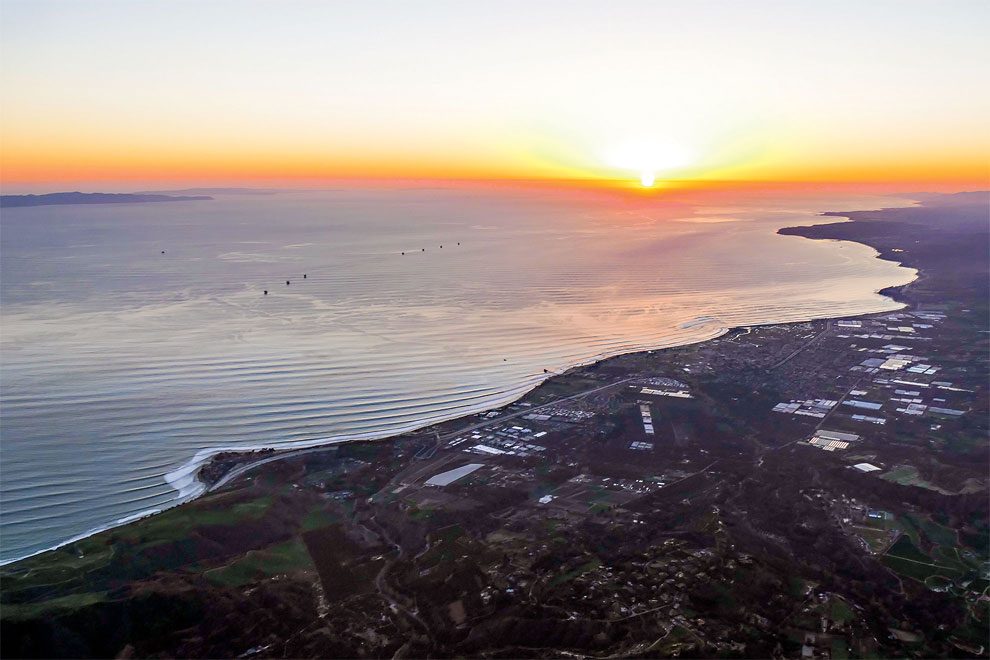
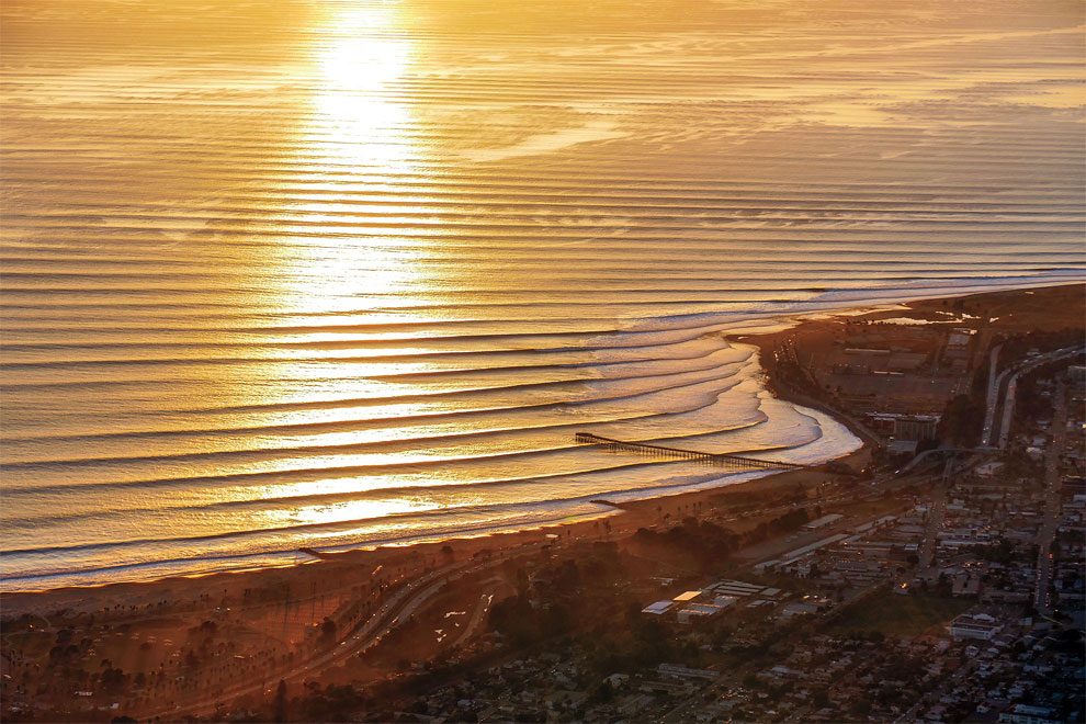
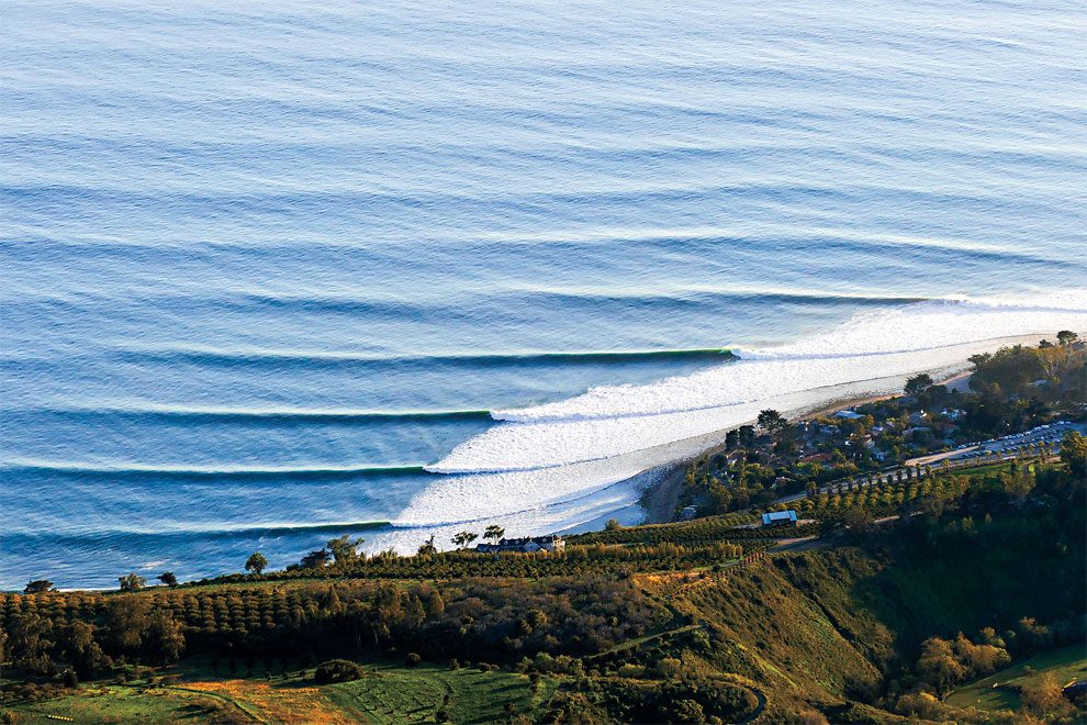
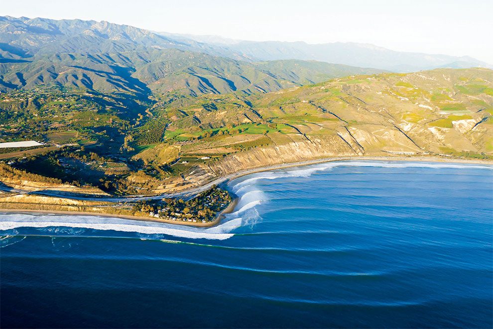
Santa Barbara, 2016
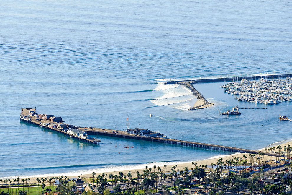
Santa Barbara, 2016
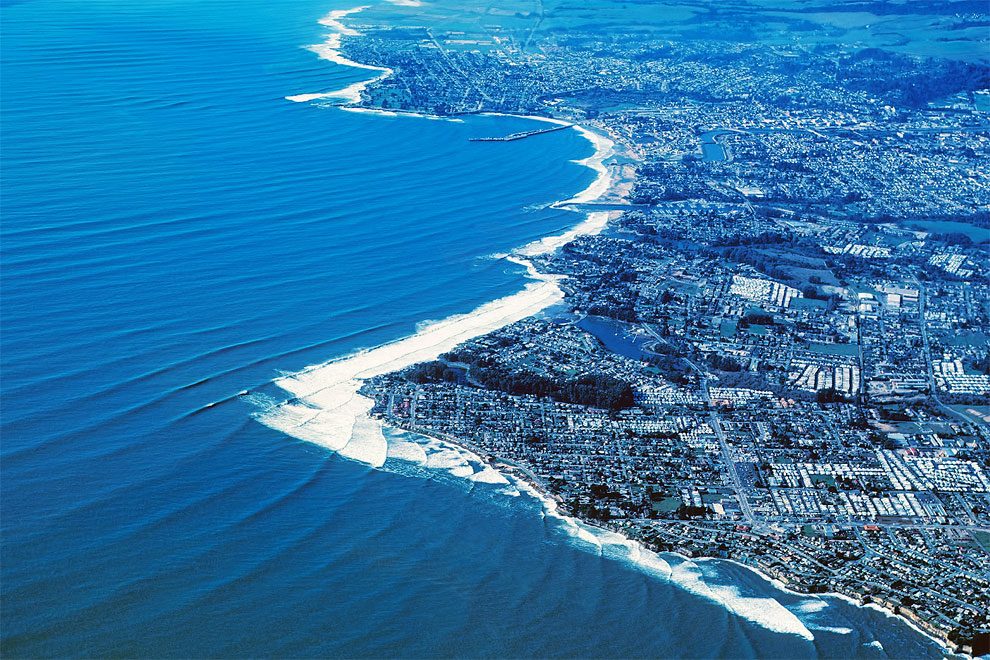
Santa Cruz, 1982
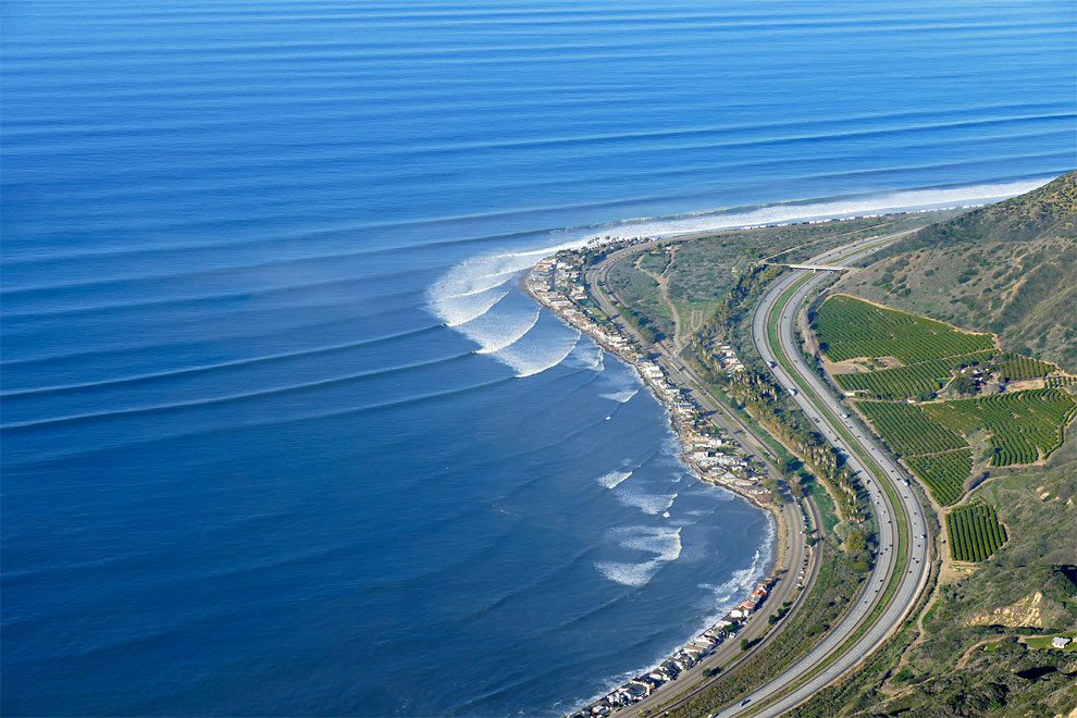
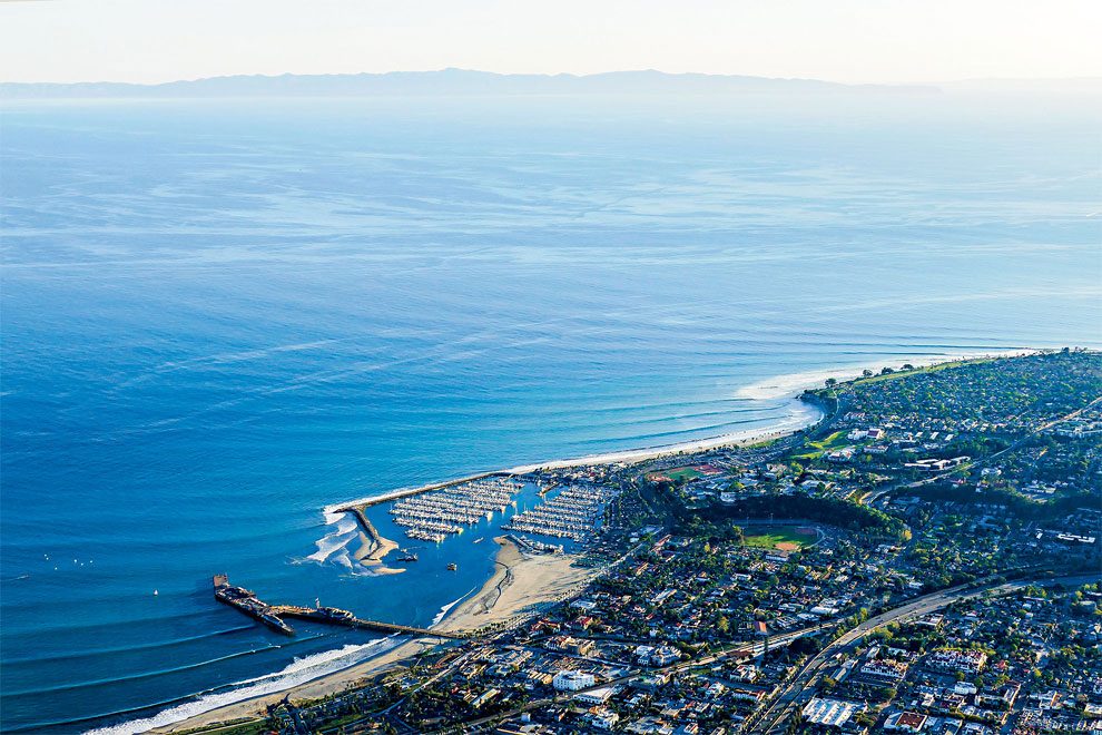
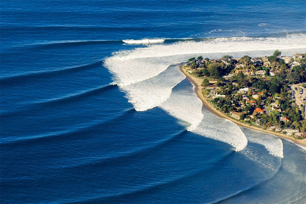
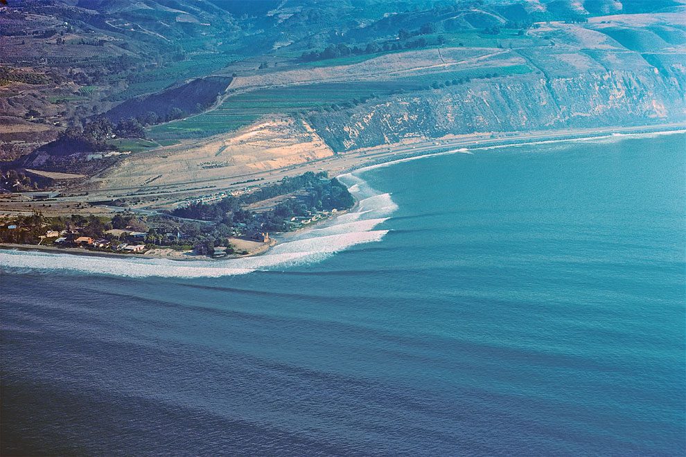
Rincon, 2016
Rincon, 2016
Santa Cruz, 1982
Rincon, 2016
Rincon, 1976
Rincon, 2016
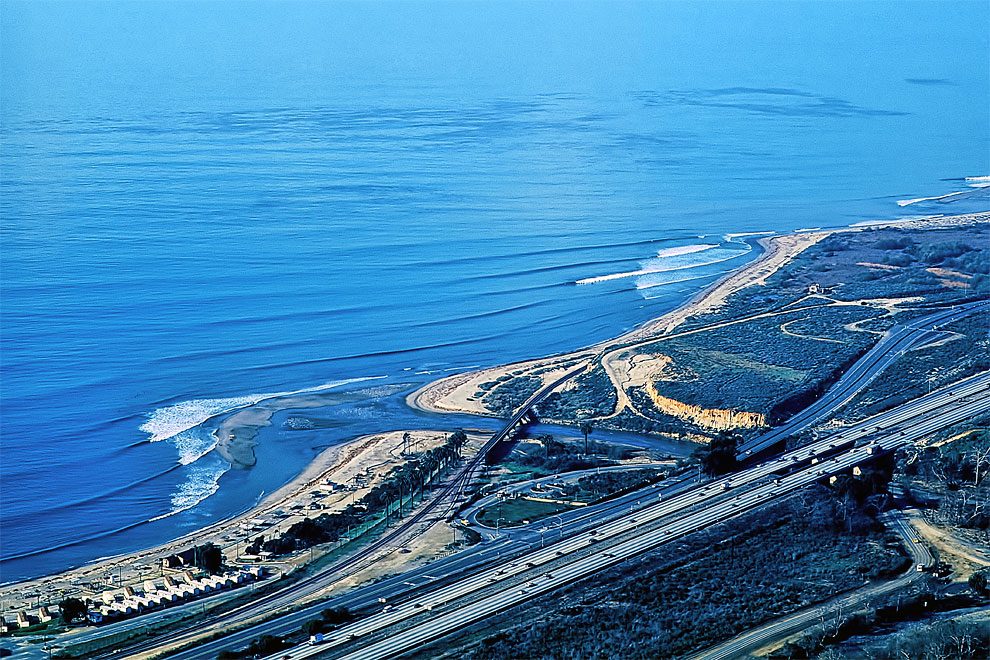
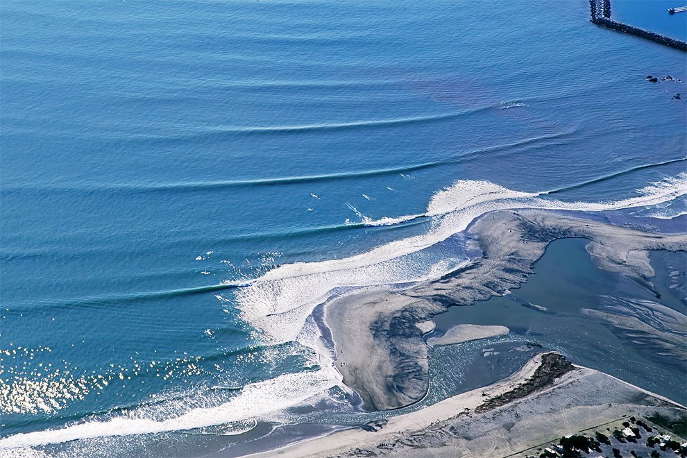
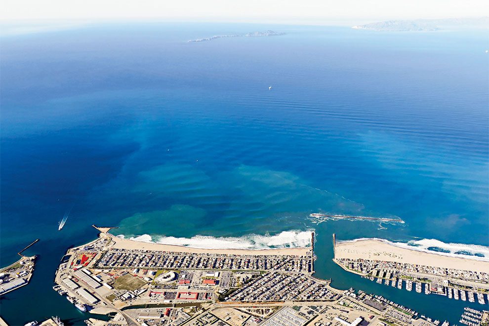
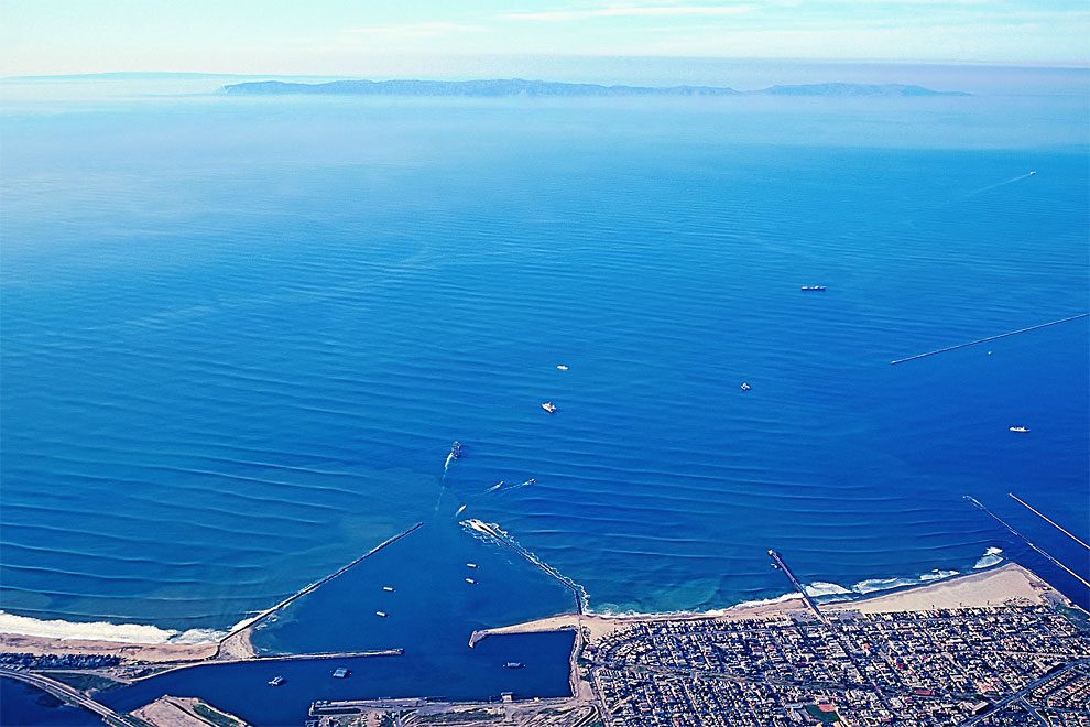
Seal Beach, 1992
Ventura, 2016